Zand Martin is an explorer. You met him here prior to this expedition. “Circling the Golden Mountains” is an attempt to circumnavigate the Altai by ski and bicycle and to tell the story of this region, its people and landscape, to as wide an audience as possible.
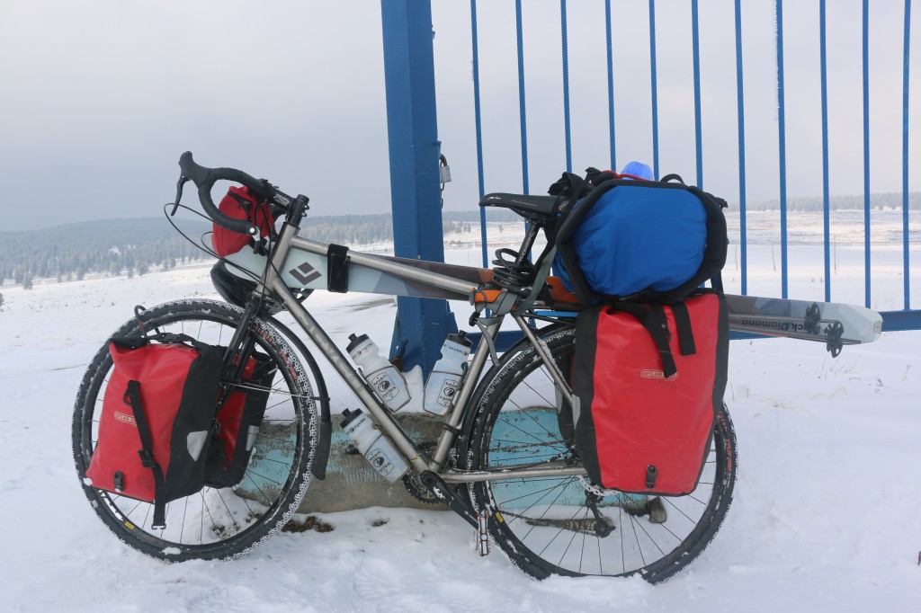
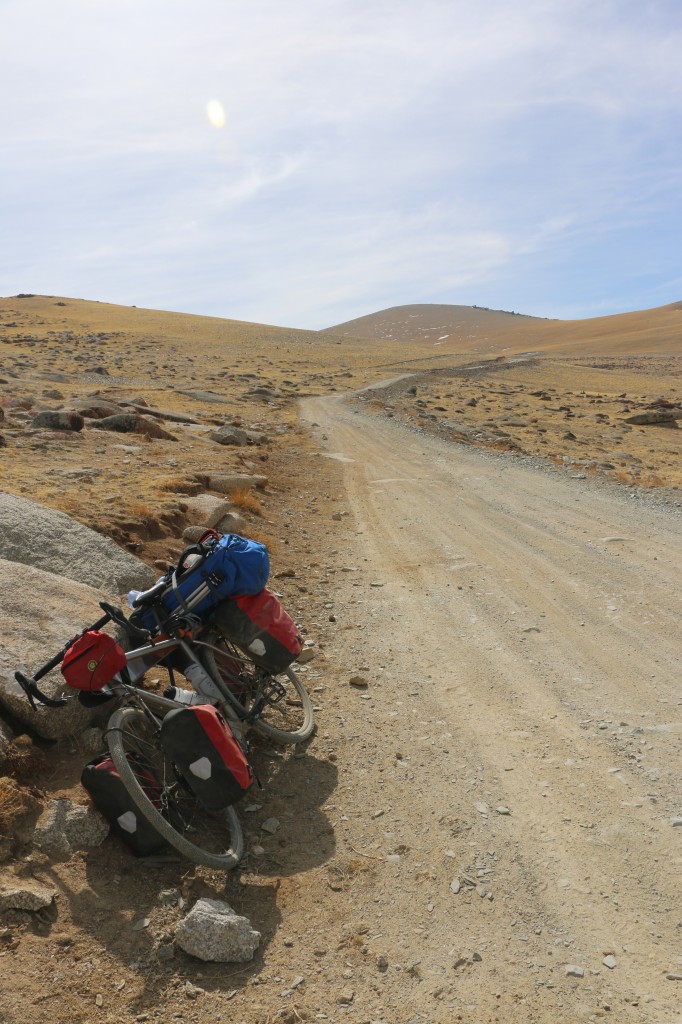
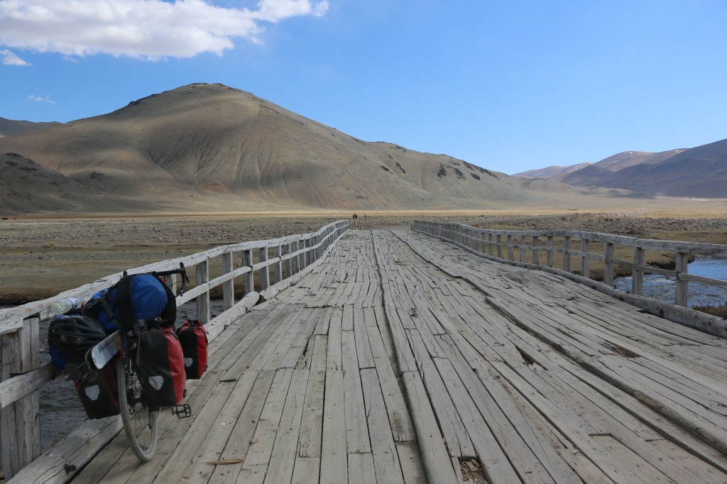
We outfitted Zand with an Expat S backcountry touring bike, which, as you’ll see, he packed with skis plus everything he might need to live in the wilderness for weeks at a time. Here are some photos from his trip prep, and some brief words about his plans.
We intend to trace a 4,000-kilometer route through Kazakhstan, China, Mongolia, and Russia, and to carry skis on our bicycles and execute between two and three dedicated multi-day ski tours in each country, with peak ascents and roadside missions as spring advances. We hold an absolute dedication to a light, fast, and low-budget aesthetic, and unless we hold to this style throughout, the route will not be possible.
When I first started running my own expeditions, sourcing maps was one of the most intimidating details for me. If you want to hike in the White Mountains or paddle in Maine, you can probably get by with an atlas and gazetteer, or a swing by a local outdoor store for a specialty map. Kazakhstan, rural France, or even more distant places in North America would at first seem impenetrable without the right tools, and a novice could have trouble finding those tools. To be clear, I am talking about paper maps. The ability to read terrain and landmarks, and associate them with features on a topographic or physical map printed on paper is the key skill in expedition navigation, both in the front country and the wilderness.
Watch this space for more installments and gorgeous photos from Zand in the Golden Mountains, the Altai.


