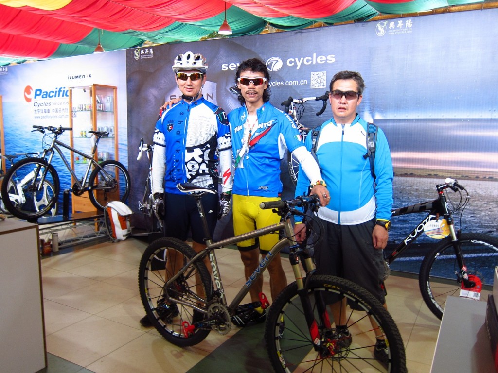
Checking back in with Zand Martin as he and his expedition partner stalk the Golden Mountains, the Altai, of central Asia. Below, more of Zand’s photos and his luminous prose.
We make certain assumptions when looking at a map. It is a designed object, the recipient of refinement, and bears a certain authority in its geometry. But despite the weight of accumulated knowledge they exhibit, maps are not infallible. The person who designed our map of Xinjiang lives, I believe, in Budapest. I don’t think this person has ever been to this lonely spot in north China, but they created a layered image representing it that was then printed, and is now in a plastic bag in my hands flapping a tih-tih-tih staccato around my thumb and forefinger.
I am in a town that doesn’t exist, and on a road whose route is deviant from the world as known to our Hungarian cartographer. In this barren stretch, we rely on sparse settlements to restock. Beyond the kilometer marker where our village should be, an empty valley of rock, sand, and scrub stretches to the horizon. This is our third phantom village today, and evening has begun to draw the curtain on our misfortune. The road is not right, and the towns we expect for food and water do not exist.
We camp behind a low brown hill, and use our last water to cook our last food. I find a scrap of rug fallen from a camel train and set it before Brian’s tent as an entry way to lighten the mood. I find a scorpion on it as I set it down, spoiling the gift.
The wind rises at 1AM, and we lose our sleep wondering if the tents will hold. They do, and at 6AM we move to the road and encounter an early morning resumption of the previous days direct, soul crushing headwind. Today it is stronger, and has come earlier.
With eighty kilometers to the next settlement and no water in bottles or landscape – not a drop to the horizon – we flag down a truck and are whisked into Beitun. I can think of no other activity comparable to cycling into a 35 knot wind. It is soul crushing. You can still crawl along without much risk, but it is excruciatingly difficult and slow. There is no rhythm. In this land, there is no where to hide and it roars in your ears the whole day long.
The steppe is utterly empty until we reach the abrupt edge of downtown. Our map uses font size to indicate settlement size. Beitun is marked as being the same size as Saribulak, one of the towns that did not exist. In reality, Beitun has 90,000 people in a compact city of modern buildings, leafy avenues, hotels, markets, and restaurants. It is the opposite of the countryside in every way.
Beitun is brand new, and under construction. It speaks of recent Han colonization, of a risen China appropriating its ethnic periphery and casting a web of super modern infrastructure across a landscape unaccustomed to such attention.
There is MUCH more to this story. Read here, here and here for our own past installments, or visit Zand’s expedition 7 for the full text and even more photos. Zand rides an Expat S, built to carry everything he needs over months adventuring in the farthest flung wilderness Earth has to offer.


